TOP FEATURES OF HUNTSTAND
Highest resolution map prints available anywhere. You will not believe the quality.
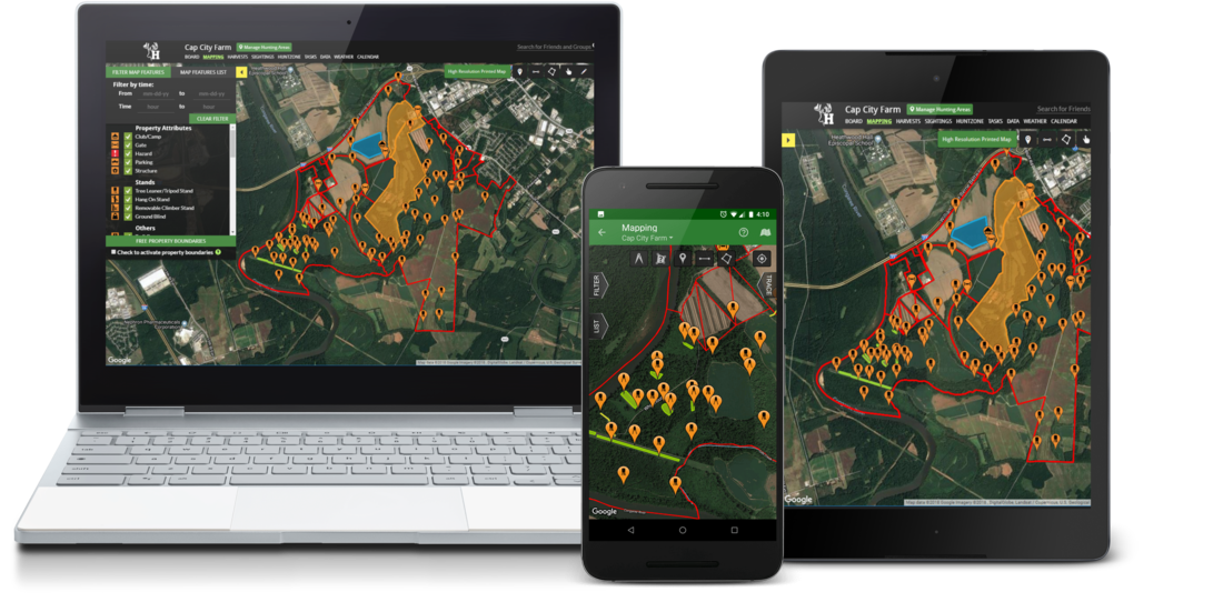
Build maps from your phone or your computer (or both)
We have parcel data for 99% of the country. Subscribe to HuntStand Pro to access this data and easily add property boundaries to your maps. Click here to view our interactive coverage map.
*Printed maps currently ship to U.S. addresses only.

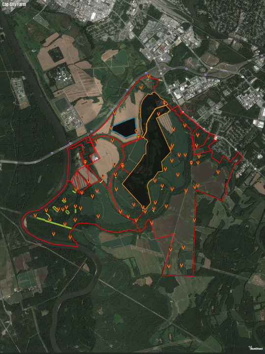
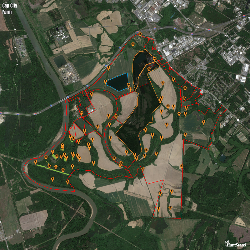
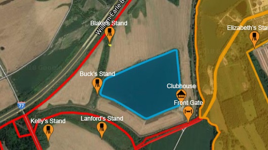
Fully customize your maps with over 90 types of markers, lines, and shapes.


Maps can be printed with all of your custom names/labels above map objects.
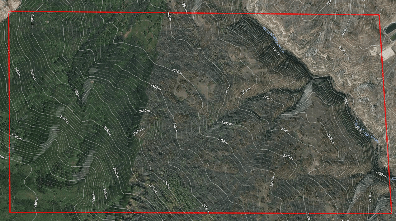
Option to add topo/contour lines if you desire.